Spatially
Lowering the Barrier to GIS for Urban Planning
We build tools that turn zoning PDFs and hand-drawn maps into usable digital maps, creating an on-ramp to everyday GIS use for planning boards with limited capacity.
Planning decisions still depend on PDFs and paper maps
~40%
of U.S. municipalities lack digital zoning maps
19,000+
municipalities across the United States
$700+
per user/year for enterprise GIS software
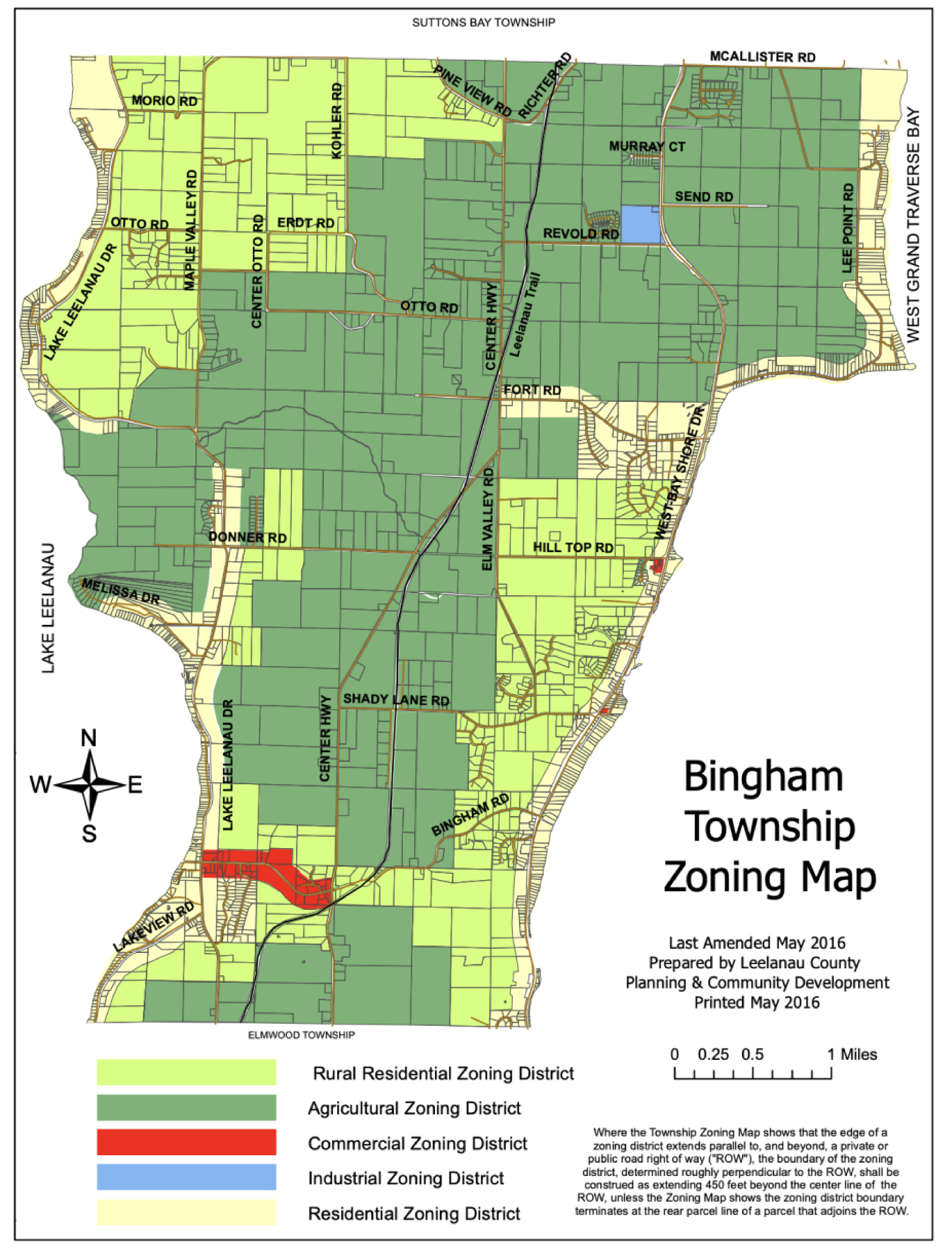
Many municipalities rely solely on PDFs or scanned, hand-marked documents that are difficult to work with.


Why does this happen?
Limited Budgets
Small planning boards cannot afford enterprise GIS licenses
Technical Complexity
Digitizing maps requires manually tracing boundaries
Understaffed Teams
No dedicated GIS staff to maintain digital maps
From PDF to Interactive Map in Minutes
Our web-based editor makes it easy to georeference zoning PDFs and convert them to usable GIS data—no specialized software required.
Digitize Zoning Maps with Ease
Our tool helps urban planners convert static PDF maps into usable GIS polygons. Upload your zoning map, align it to real-world coordinates, and generate digital boundaries ready for any GIS platform.
Upload any zoning PDF or scanned map
Align to satellite imagery with built-in georeferencing
Generate zoning polygons as GeoJSON
AI-assisted boundary detection (coming soon)
Built Different
While competitors focus on cities that already have digital maps, we create GIS data where none exists.
Creates GIS zoning data where none exists
Built for municipalities without GIS capacity
Free for governments to digitize maps
Expands zoning coverage into unmapped regions
Are you an urban planner?
We're looking for municipalities interested in trying out our georeference tool. If you work with zoning maps and want to help us build better tools, we'd love to hear from you.
Get in TouchSpatially